Old Pittsburgh Maps
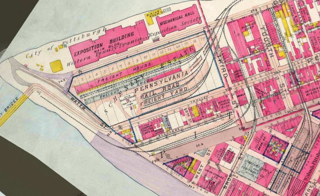
1910 map of the Point
“The Pittsburgh Mapping and Historical Site Viewer provides a window into the past, allowing anyone to see how the city took shape over time. It shows how the city of 22,433 people in 1835 changes over time: how neighborhoods grow and expand, while others were planned but never built. Street names change over time, empty lots become buildings, and schools and churches open and close. The maps were made by cutting and georeferencing hand-drawn paper maps made over 100 years ago. … By browsing through the years at a location, you’ll find a cemetery that became a school, the arrival of rail yards, and other indicators of how the city has evolved around changes in transportation, industry, and population. ”

Leave a Reply